|
Comparative Archaeology Database, University of Pittsburgh
|
|
Upper Daling Region Hongshan Household and Community Dataset |
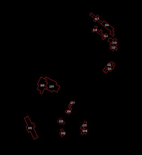
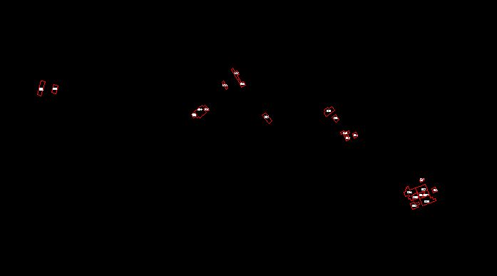
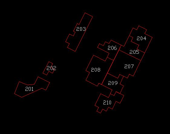
The 5-m squares in which intensive surface collection was carried were aggregated into household units to form the basis for analysis. These maps locate the boundaries of the household units, with the numbers assigned to them. The maps are provided in vector format as AutoCAD (Release 12) DXF files. In the files, an AutoCAD closed polyline delineates each household unit as a separate polygon. The household unit number is an AutoCAD text entity with its insertion point within the polygon.
Low-resolution preview of (Return here with your browser's BACK button) |
Download the file |
Low-resolution preview of (Return here with your browser's BACK button) |
Download the file |
Low-resolution preview of (Return here with your browser's BACK button) |
Download the file |