|
Comparative Archaeology Database, University of Pittsburgh
|
|
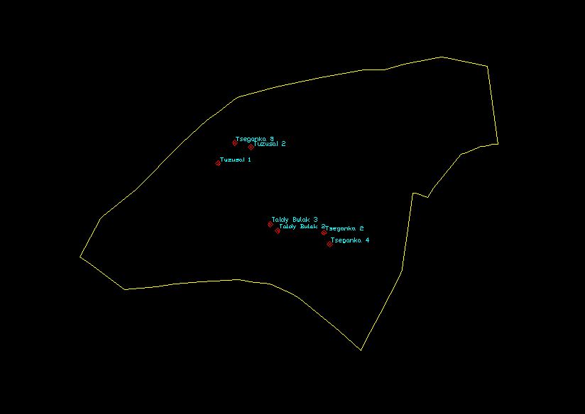
Talgar Alluvial Fan Dataset |
Locations of excavated sites are provided as an AutoCAD (Release 12) .DXF file. The file is named EXC.DXF. Drawing units of the .DXF file are meters; the coordinate system is WGS84-based UTM in Zone 43 North.
The layers and their contents are:
Low-resolution preview |
Download EXC.DXF (18 KB). |