|
Comparative Archaeology Database, University of Pittsburgh
|
|
Liangcheng Settlement Dataset |
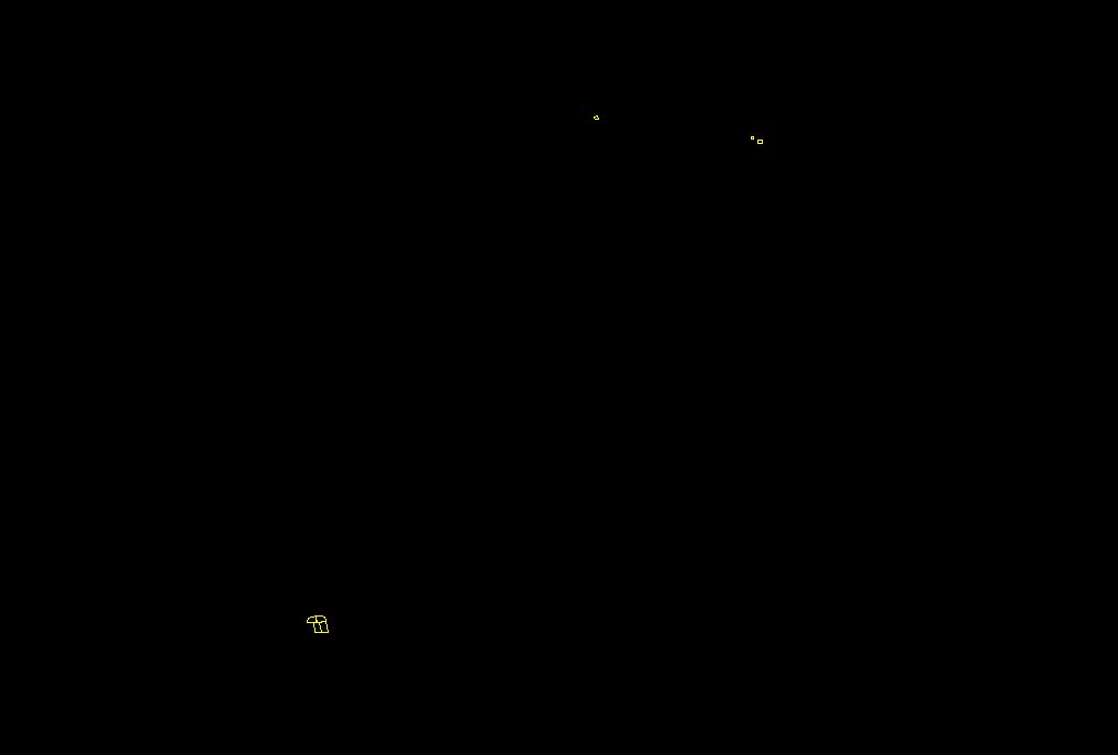
The Zhukaigou occupation is provided as an AutoCAD (Release 12) .DXF file called ZHUKAIGOU.DXF. Each collection unit that yielded Zhukaigou sherds is indicated by an AutoCAD closed polyline on the layer ZHUKAIGOU (color Yellow) enclosing its complete area. The Zhukaigou sherd density for the collection unit (in sherds per square meter) is assigned to the polyline as its elevation (z-value).
Low-resolution preview (Return here with your browser's BACK button) |
Download the file ZHUKAIGOU.DXF (15 KB). |