|
Comparative Archaeology Database, University of Pittsburgh
|
|
Liangcheng Settlement Dataset |
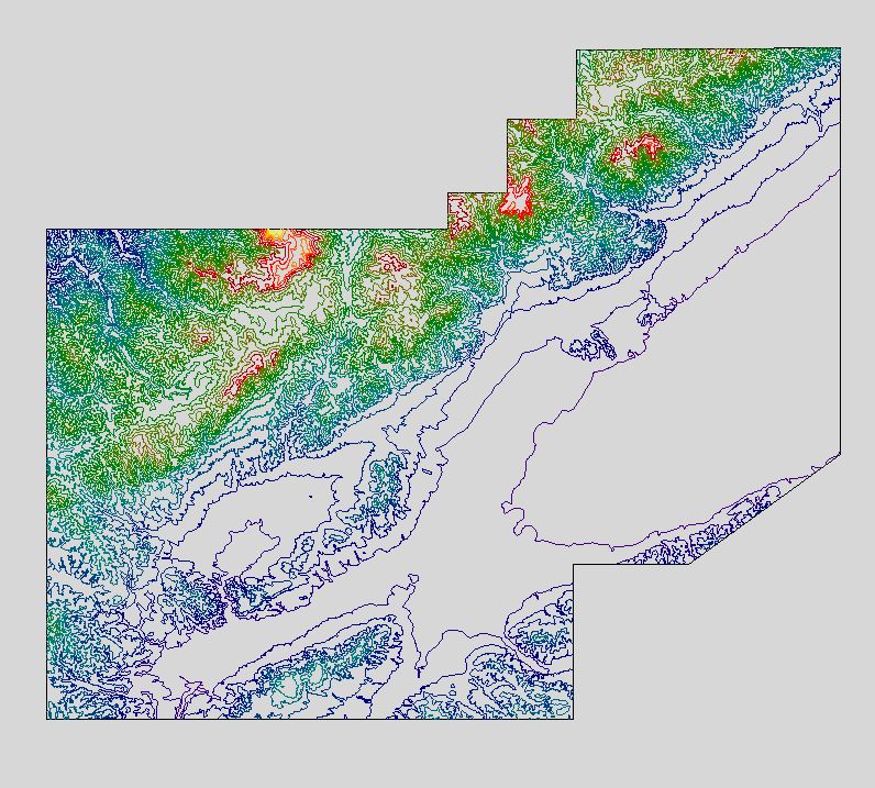
The local topography is provided as an AutoCAD (Release 12) .DXF file. The file is named TOPOGRAPHY.DXF. Elevation lines are provided as AutoCAD polylines on layers named with their elevations in meters. The boundary for the study area is also provided as an AutoCAD closed polyline in the layer Boundary (color Black/White).
Low-resolution preview (Return here with your browser's BACK button) |
Download the file TOPOGRAPHY.DXF (14.5 MB). |