|
Comparative Archaeology Database, University of Pittsburgh
|
|
Liangcheng Settlement Dataset |
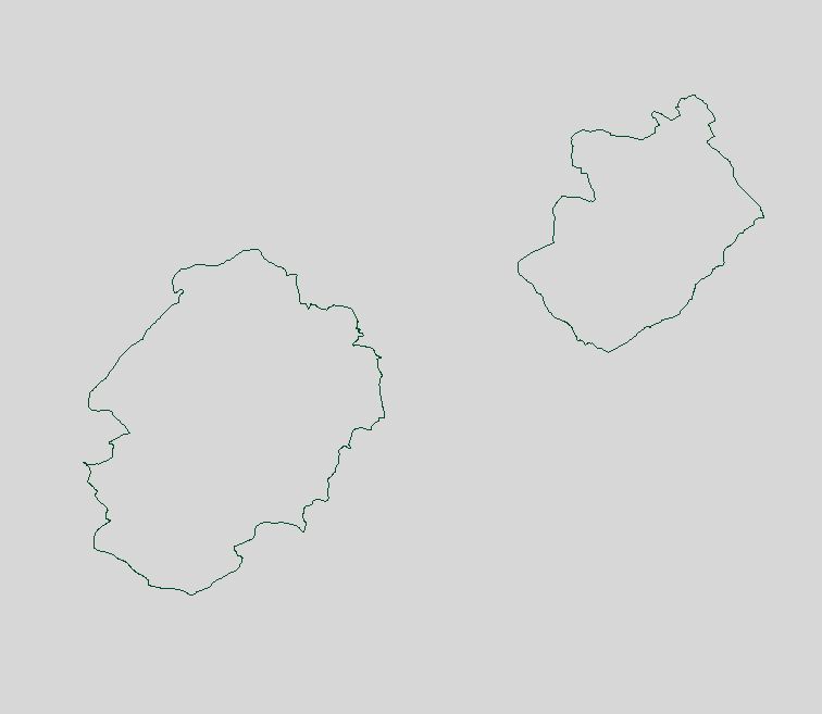
The boudaries of both surveyed areas (the Yongxing Basin survey tract to the southwest and the Sansumu survey tract to the northeast) are provided as an AutoCAD (Release 12) .DXF file. The file is named SURVEY.DXF. Each surveyed area is indicated by an AutoCAD closed polyline on the layer SURVEY (color Green) enclosing its complete area.
Low-resolution preview (Return here with your browser's BACK button) |
Download the file SURVEY.DXF (186 KB). |