|
Comparative Archaeology Database, University of Pittsburgh
|
|
Talgar Alluvial Fan Dataset |
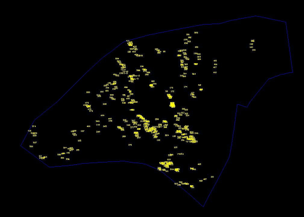
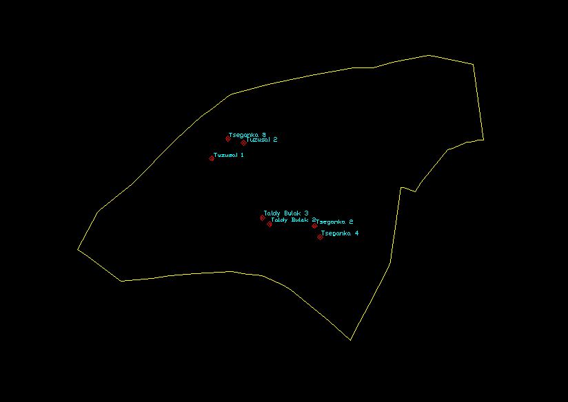
Locations of the sites identified during the Talgar Alluvial Fan survey are provided as an AutoCAD (Release 12) .DXF file. named WAYPOINTS.DXF. The ArcGIS .SHP file containing the same information has been compressed into a .ZIP file named WAYPOINTS.ZIP. Drawing units of both file types are meters; the coordinate system is WGS84-based UTM in Zone 43 North. For each site, an AutoCAD text entity contains the waypoint number as its text string value; the insertion point of the text entity is at the coordinate location.
The .DXF layers and their contents are:
Low-resolution preview |
Download WAYPOINTS.DXF (59 KB). |
Download WAYPOINTS.ZIP (40.8 KB). |