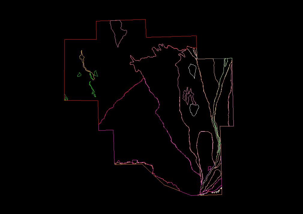
GEOMORPHOLOGICAL MAP
The distribution of different soil types in the survey area are provided as an AutoCAD (Release 12) .DXF file named GEO.DXF. Drawing units of the .DXF file are meters; the coordinate system is WGS84-based UTM in Zone 43 North.
The layers and their contents are:
- ZONE_A -- Closed Autocad polylines delimiting alluvial-proluvial flat and slightly undulating plains of the second half of the mid-Quaternary period.
- ZONE_B -- Closed Autocad polylines delimiting alluvial-proluvial slightly undulating and undulating plains of the first half of the late-Quaternary period.
- ZONE_C -- Closed Autocad polylines delimiting alluvial-proluvial slightly undulating and undulating plains of the second half of the late-Quaternary period.
- ZONE_D -- Closed Autocad polylines delimiting alluvial-proluvial plains of the late-Quaternary-contemporary period.
- ZONE_E -- Closed Autocad polylines delimiting contemporary proluvial oblique cones and ribbons of alluvial fans.
- ZONE_F -- Closed Autocad polylines delimiting alluvial-proluvial slightly undulating alluvial fans of first half of the Holocene.
- ZONE_G -- Closed Autocad polylines delimiting alluvial and alluvial-proluvial flat and slightly undulated alluvial fans of the second half of the Holocene.
- ZONE_H -- Closed Autocad polylines delimiting a second plinth terrace above the flood plain of the Talgar River with a height of 7-12 meters consisting of poorly sorted boulder-gravel with sandy-loamy filler covered with a thin layer of carbonitized loams of pale yellow color.
- ZONE_I -- Closed Autocad polylines delimiting a mixed terrace above the flood plain of the Talgar River with a height of 4-6 meters and consisting of boulder-gravel with sandy-loam gravel filler, upper horizon thin loams with inclusions of assorted sands with a thin soil layer.
- ZONE_J -- Closed Autocad polylines delimiting the low and high flood plain of the Talgar River with a height of 1-1.5 meters and 2.5-3 meters, respectively. Consisting of rolled and angular rolled boulder-gravel with sandy-gravel filler, covered with a layer of sandy-loams and a rudimentary soil layer within the limits of the high flood plain.
- ZONE_K -- Closed Autocad polylines delimiting an unspecified soil type.
- ZONE_L -- Closed Autocad polylines delimiting an unspecified soil type.
- ZONE_M -- Closed Autocad polylines delimiting an unspecified soil type.
- ZONE_N -- Closed Autocad polylines delimiting an unspecified soil type.
Return
to the Table of Contents