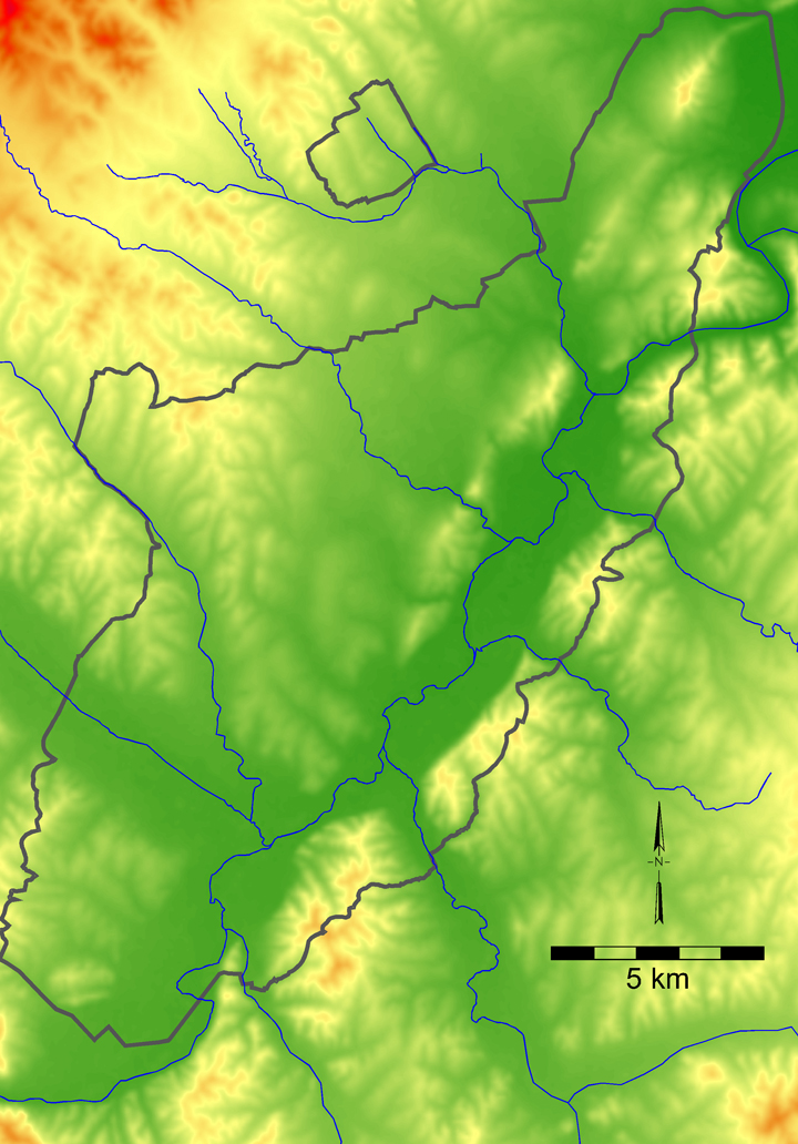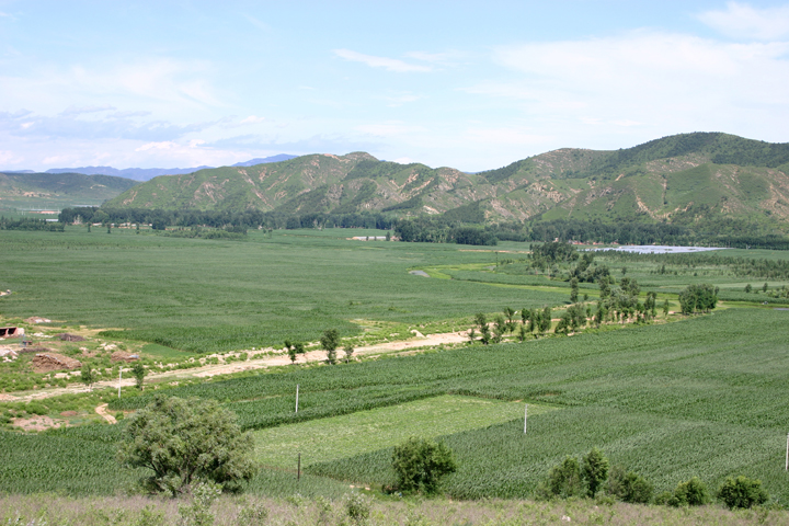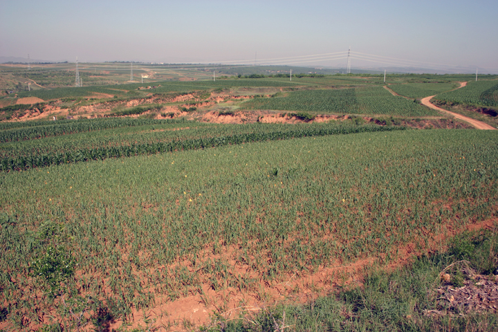
Fig. 1.4. Rolling terrain slightly higher than the Daling River floodplain.
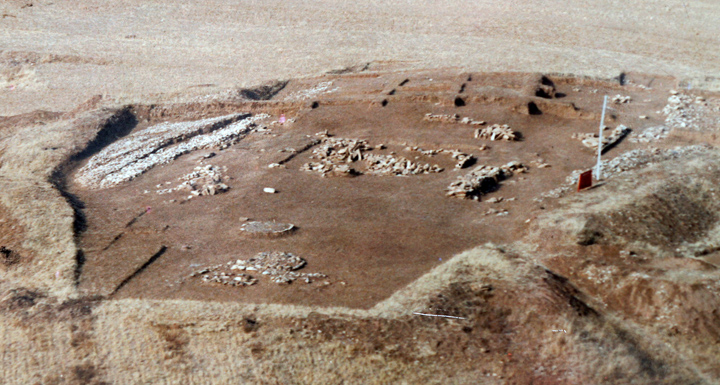
Fig. 1.5. Dongshanzui ceremonial site after excavation in 1982.
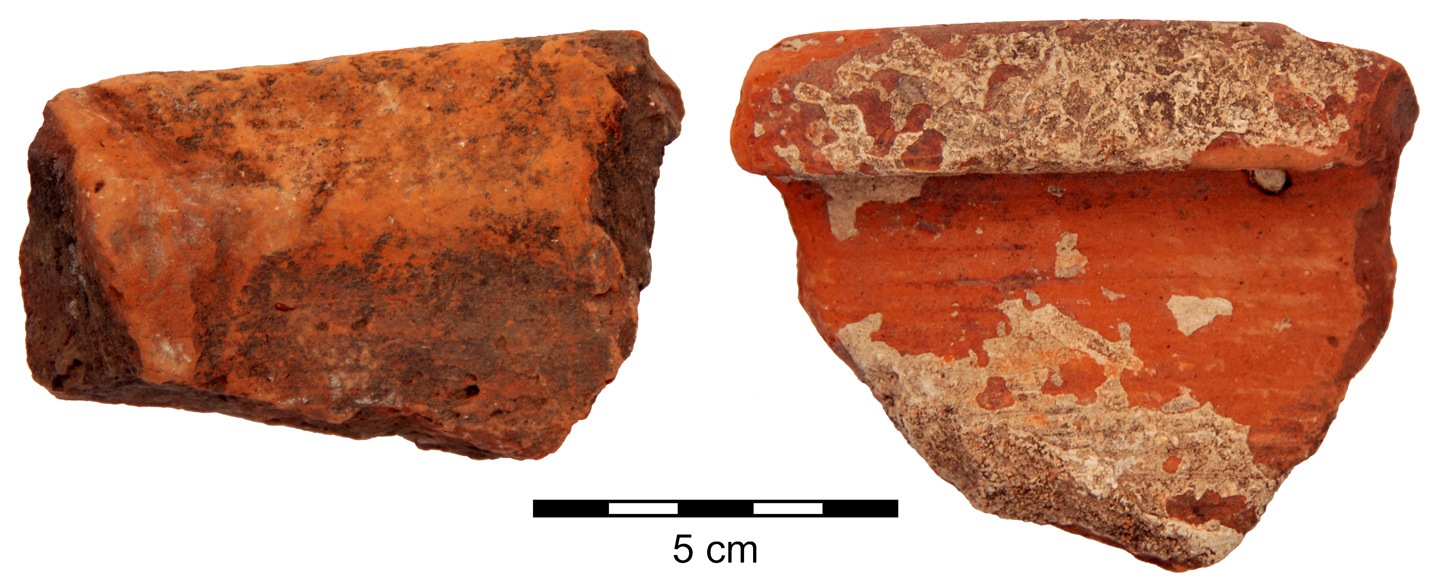
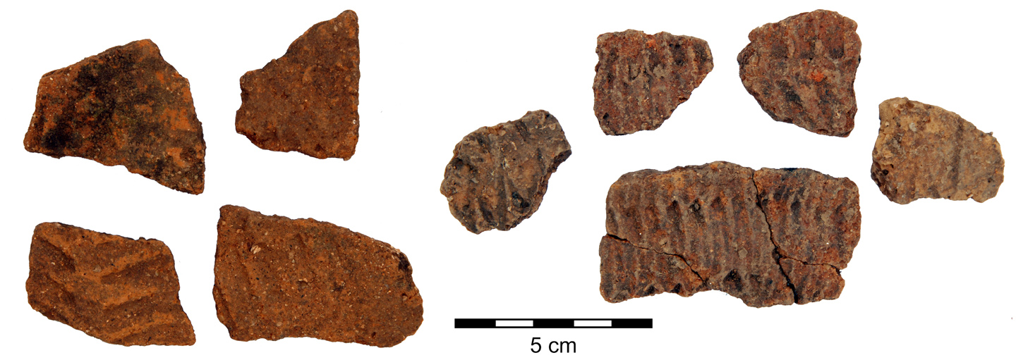
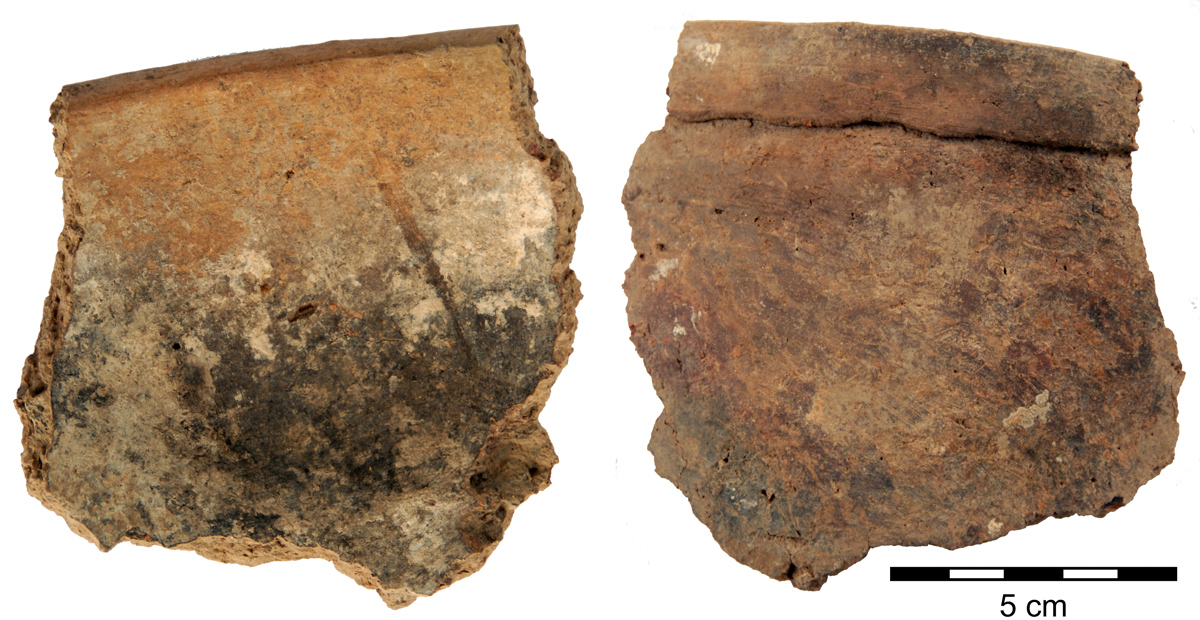
Fig. 2.2. Hongshan tongxingqi rims: early (left) and late (right).
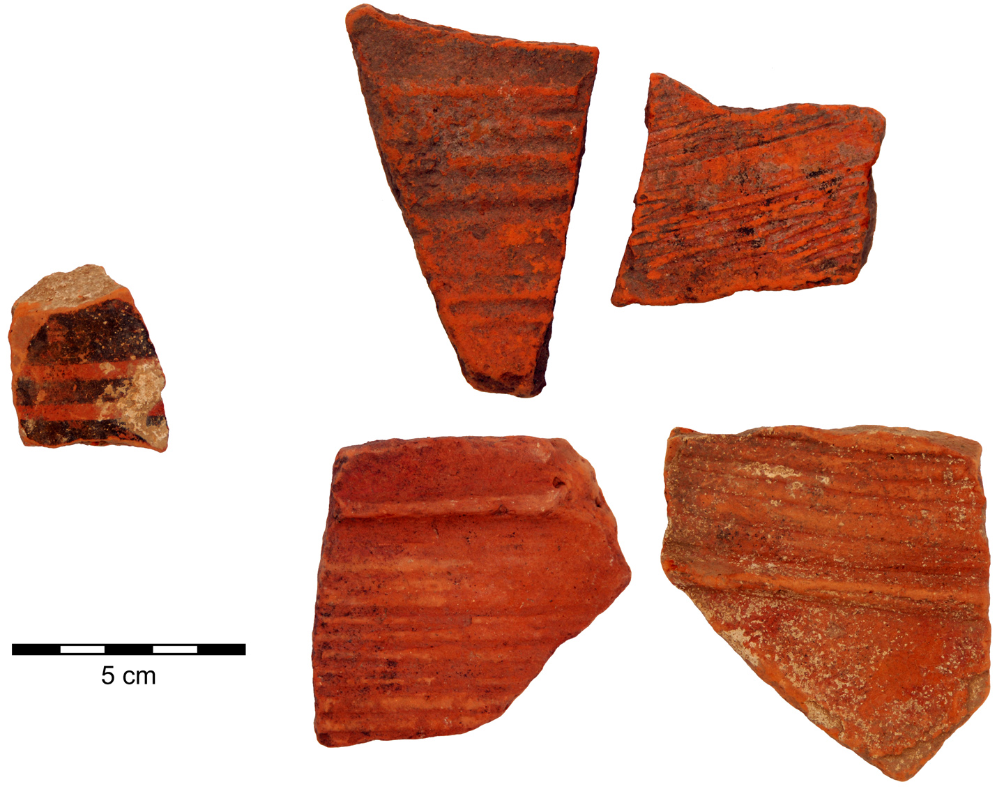
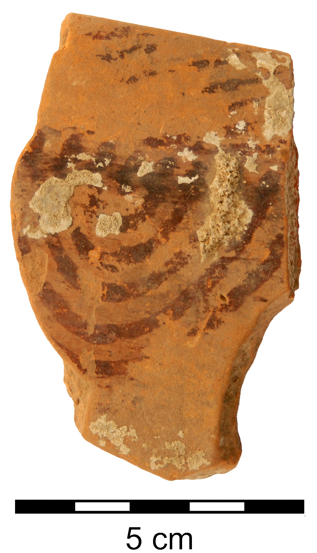
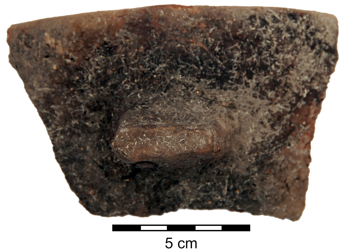
Fig. 2.3. Decorated Hongshan tongxingqi sherds: black painted zig-zag motif (left) and parallel line motif (right).
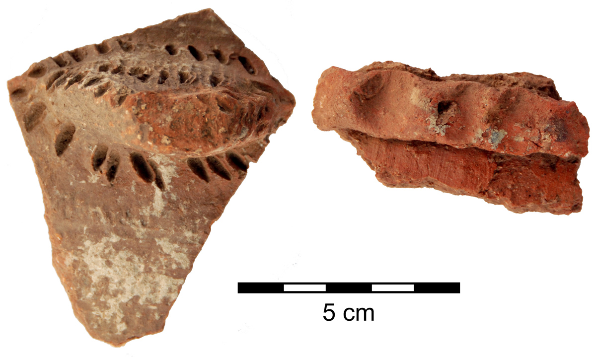
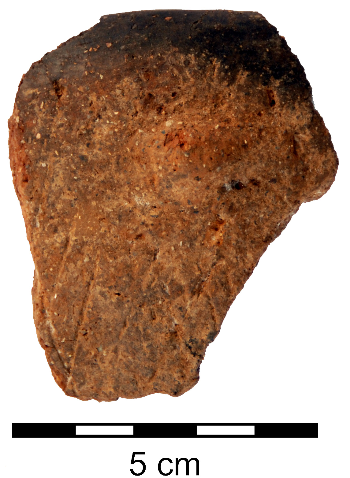
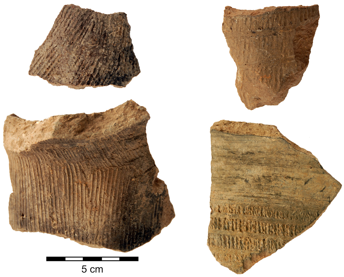
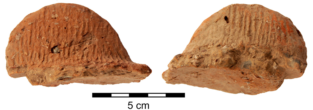
Fig. 2.8. Lower Xiajiadian sherds: with punctate impressions (left) and with crimped appliqué strips (right).
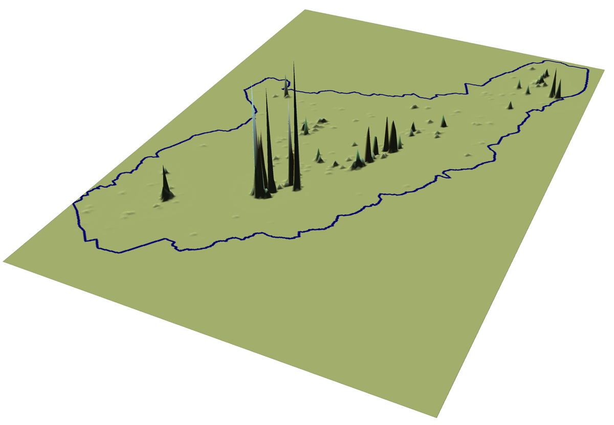
Fig. 4.2. Unsmoothed surface representing Hongshan period occupation.
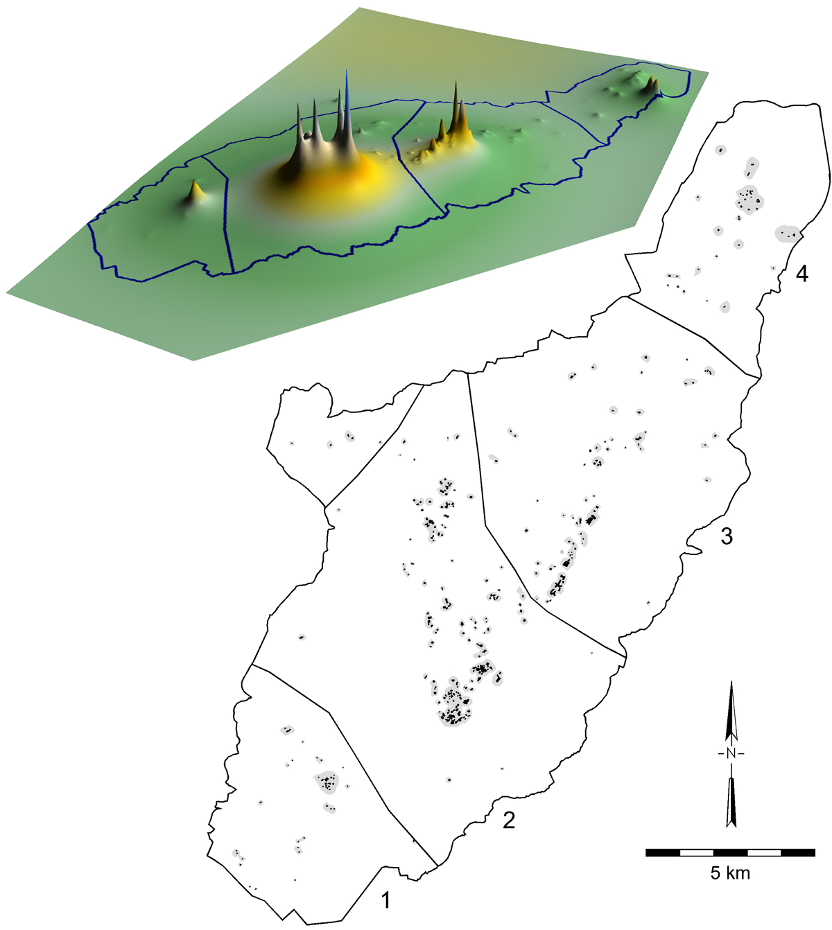
Fig. 4.6. Smoothed surface representing Hongshan occupation and map of supra-local communities or districts.
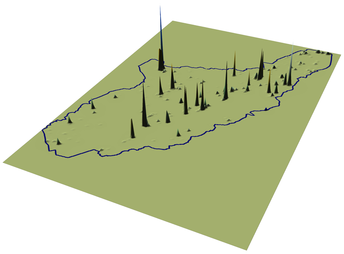
Fig. 5.2. Unsmoothed surface representing Lower Xiajiadian period occupation.
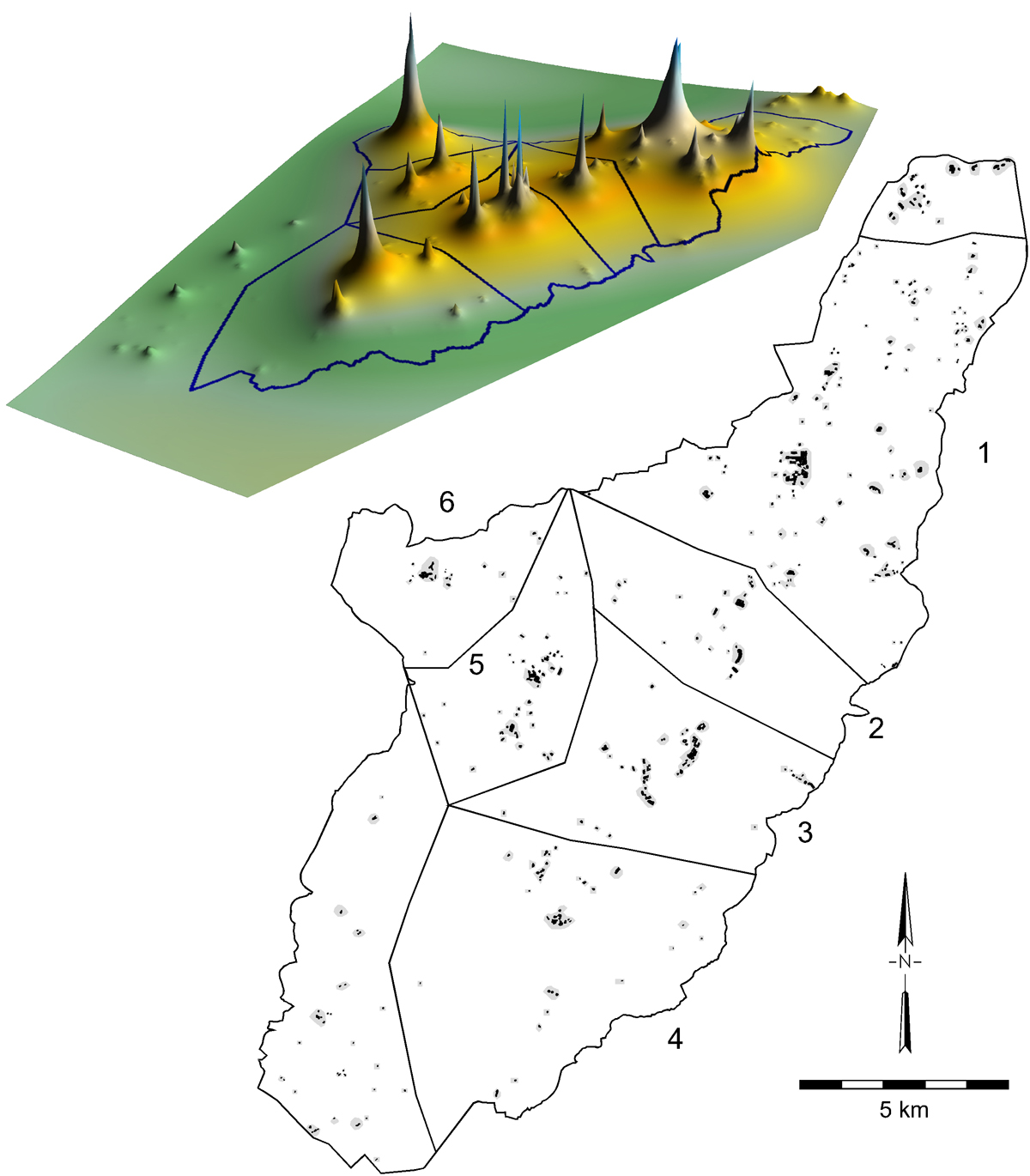
Fig. 5.6. Smoothed surface representing Lower Xiajiadian occupation and map of supra-local communities or districts.
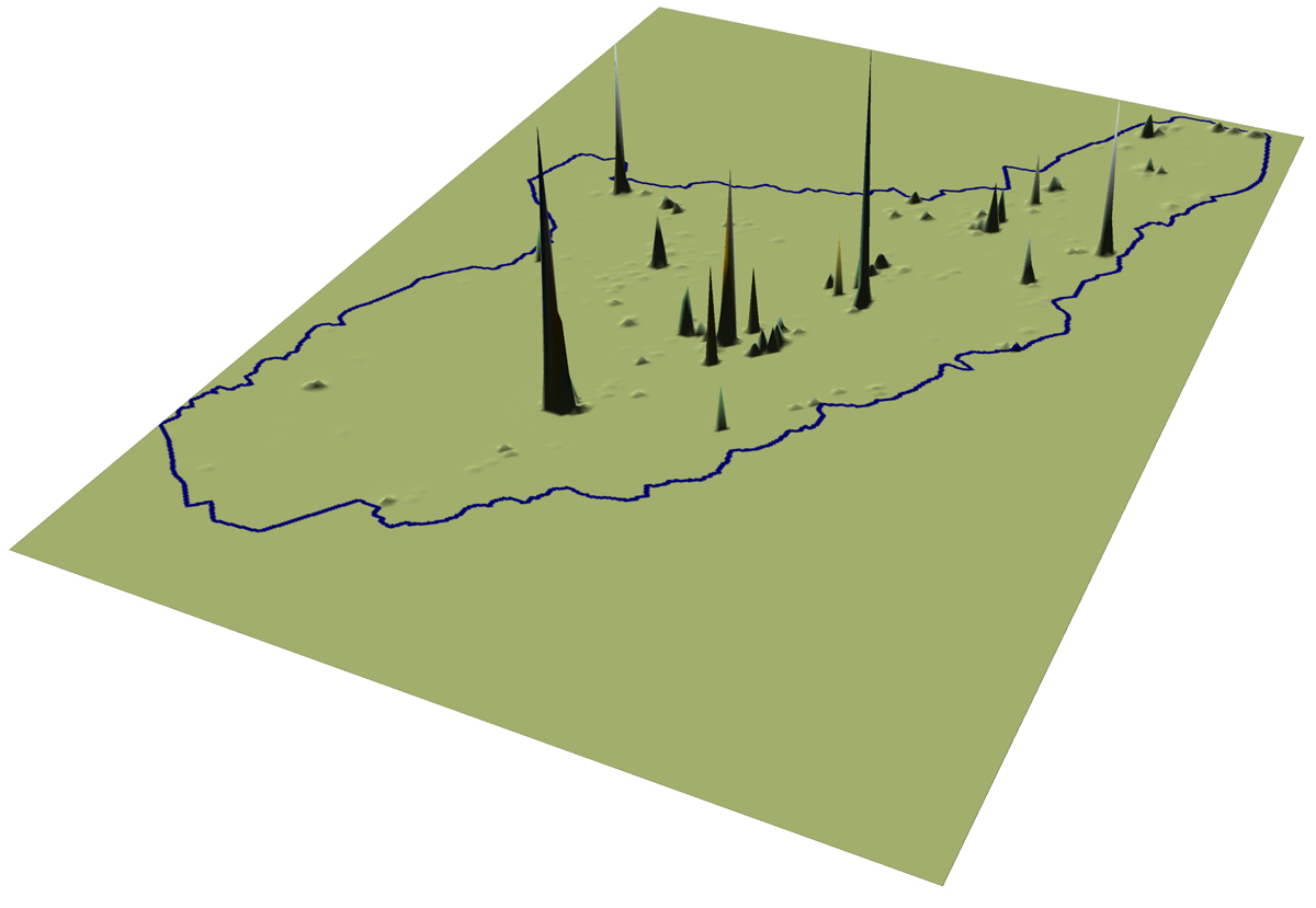
Fig. 5.11. Unsmoothed surface representing Upper Xiajiadian period occupation.
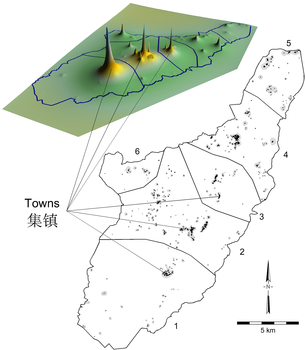
Fig. 5.15. Smoothed surface representing Upper Xiajiadian occupation and map of supra-local communities or districts.
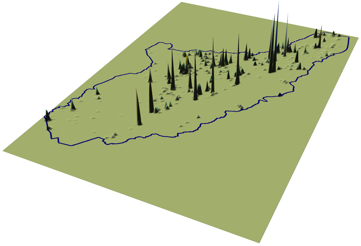
Fig. 5.19. Unsmoothed surface representing Zhanguo-Han period occupation.
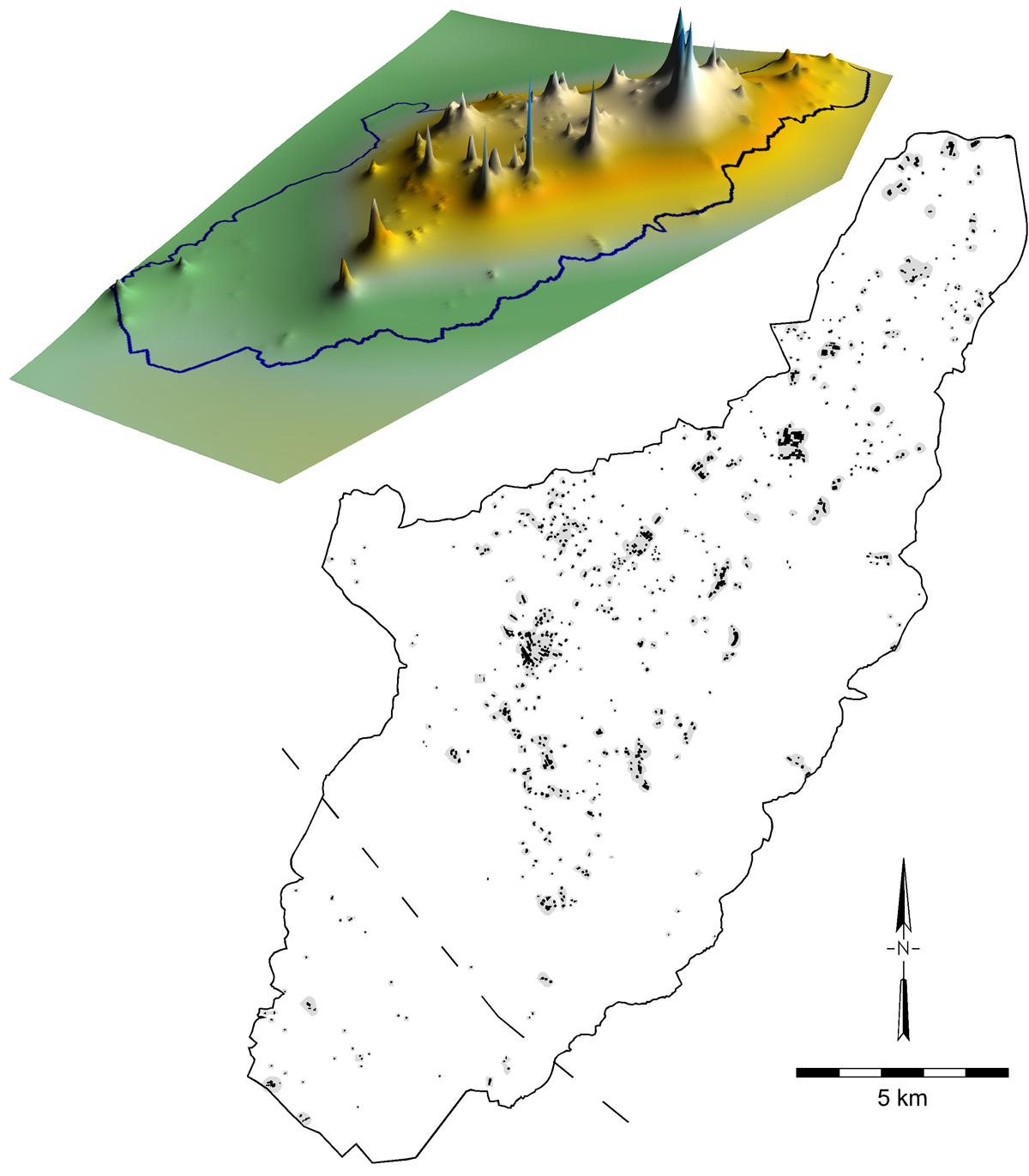
Fig. 5.23. Smoothed surface representing Zhanguo-Han occupation and map showing possible southern limit of a supra-local community or district.
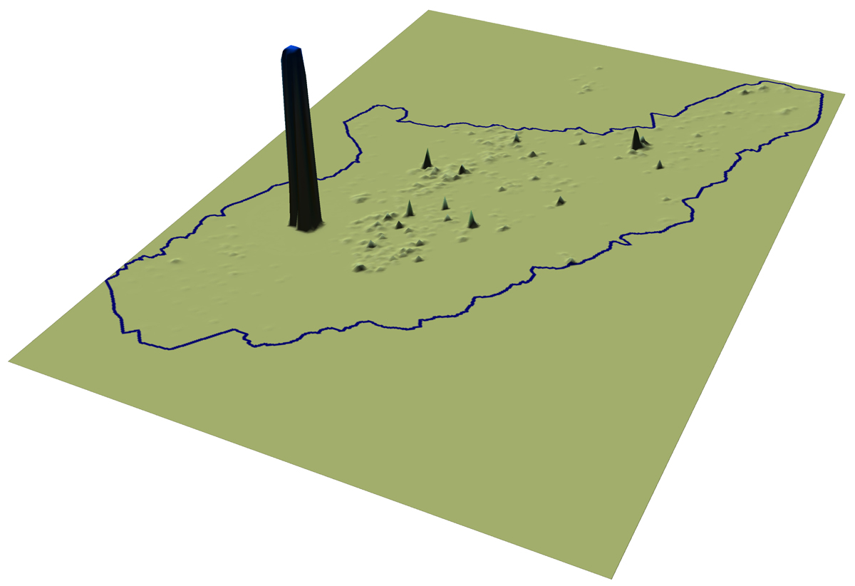
Fig. 5.26. Unsmoothed surface representing Liao period occupation.
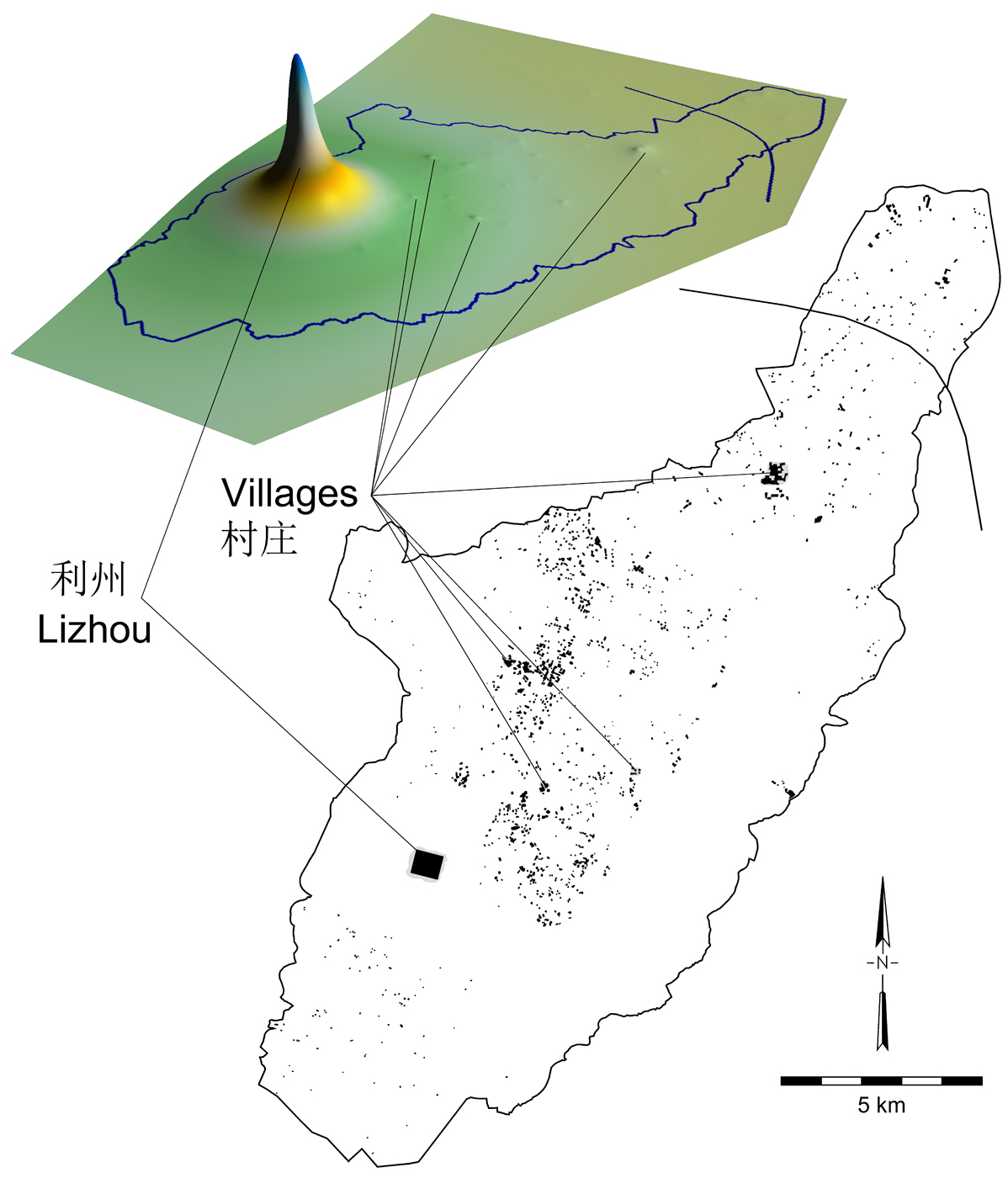
Fig. 5.31. Smoothed surface representing Liao occupation and map showing possible northern limit of the Lizhou supra-local community or district.
